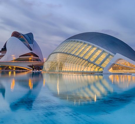
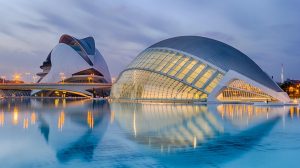
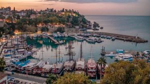
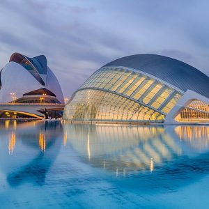
Detaljna karta Srbije -- Karta Srbije u visokoj rezoluciji --
http://www.tt-group.net/Karta-Srbije/Ve ... Srbije.htm
POLOŽAJ/GEOGRAPHICAL LOCATION: Centralni deo Balkanskog poluostrva, jugoistočna i srednja Evropa. Između 41⁰50'32'' i 46⁰11'25'' s.g.š. i 18⁰26'04'' i 23⁰00'42'' i.g.š. REKE/RIVERS: Dunav kroz Srbiju protiče ili je dodiruje u dužini 588,6 km. Podunavski deo Srbije najprometniji je, najgušće naseljen i jedan od privredno najrazvijenijih delova Srbije / Central part of the Balkan Peninsula, situated in central and southeastern Europe. Serbia lies between longitudes 41⁰50'32'' and 46⁰11'25'' north and latitudes 18⁰26'04'' and 23⁰00'42''east. In all, 588,6 kilometers of the Danube River, the longest in Europe, pass trough Serbia or constitute sections of its borders. Serbia's Danube Basin region is the most denesly populated and economically one of the most developed area in Serbia
http://www.tt-group.net/Karta-Srbije/Ve ... Srbije.htm
POVRŠINA/AREA: 88.361 km2 / 88.361 square kilometers
KLIMA/CLIMATE: raznovrsna : kontinentalna u Panonskoj niziji, umerenokontinentalna u nižim planinskim predelima, planinska na visokim planinama.. Odlikuje se umereno toplim letima i hladnim zimama. Jeseni su duže i toplije od proleća (negativne srednje temperature traju 4-6 meseci), prosečna -10, januar i februar su najhladniji. Jul je najtopliji mesec u godini sa 35-45 ctepena / Diverse. Northern area feature a continental climate, hilly parts of the country have a moderate continental climate, and mountanous regions sport an alpine climate. In more dow-to-earth terms, you can expect moderately warm summers and cold winters. Autumn is longer and warmer than spring. Awerage temperatures are lowest in in the mountains, abozu - 10⁰ Celsious. January and February are the coldest months of the year. July is the hottest, with temperatures reaching 35-44⁰ Celsious
http://www.tt-group.net/Karta-Srbije/Ve ... Srbije.htm